Starting by Hullavington Garage, go down Frog Lane and take the footpath at its end. Just before the camp boundary fence, go through the kissing gate on your left and follow the path through a gap in the hedge opposite.
Continue along the path, now with the hedge on your right. At the end of the field, cross the footbridge on the right to continue in the same general direction, along the boundary fence to follow a narrow path for about another 100 yards before emerging into a large field on your right.
Follow along the edge of the field, now with a hedge and the little stream on your left. The exit at the far end leads you into an old marshy track Watery Lane and, after another 100 yards, you go through a metal gate to emerge onto the main road out of the village.
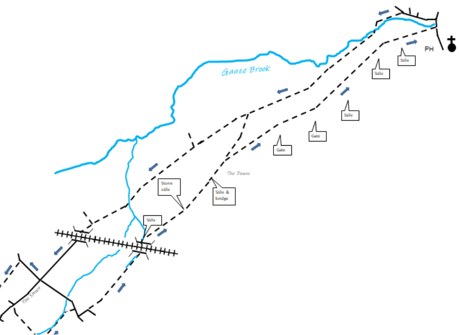
With great regard for road safety, turn right and then left to follow the small back-road to Malmesbury for a few yards. At the first bend of the road, go straight ahead to enter the field across the stile by the gateway.
With the hedge on your left, proceed for ¼ mile until you enter a small patch just before the track goes under the railway through Chowell Bridge. When you emerge at the other side into Chowell Mead, take the stile and the footbridge on the right by the gateway and turn left.
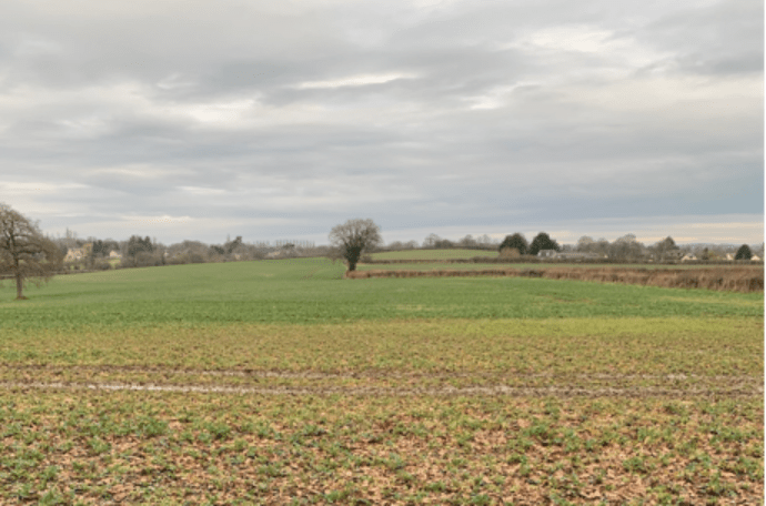
Two stiles are very evident as you cross old pastures into a larger field which you traverse bearing diagonally left to the corner to cross a stile and a footbridge into the next field. The field route now runs parallel to the A429 over The Downs, with good views of the surrounding countryside.
As you keep the hedge on your left, the path along the next field ends in a small thicket, which you pass through, also crossing the Parish Boundary into St Paul Malmesbury Without, and then gently downhill to a gate into the next field. The path at this stage has a boundary fence on your right as you cross a field about 1¼ mile long.
At the end you will see a gate which leads you across a field for about 200 yards, over the stile and into a small hawthorn and hazel copse. Go straight ahead and after 100 yards you will be out of this, cross a stile, descend a grassy slope with a very nice children’s playground to the main road. The Radnor Arms is 100 yards on your right.
From the Radnor Arms, walk 200-300 yards towards Malmesbury, over the bridge, then turn left into Mill Lane. In another 200-300 yards you will pass some old cottages and the old mill. Soon you will see the on your left a bridleway, which you follow with the Gauze Brook first on your left and then on your right. The bridleway runs lower and parallel to the outward path.
Pass through the gate, then follow the left-hand hedge until it becomes a boundary fence. Take the gate in this fence into the adjoining field and cross to the hunting gate at the end into a larger field. At this gate you re-enter Hullavington Parish. As the ground rises, you will see the beginning of the old cart track Down Lane, which will take you back to Cemetery Corner. You then continue straight on up The Street to your starting point.