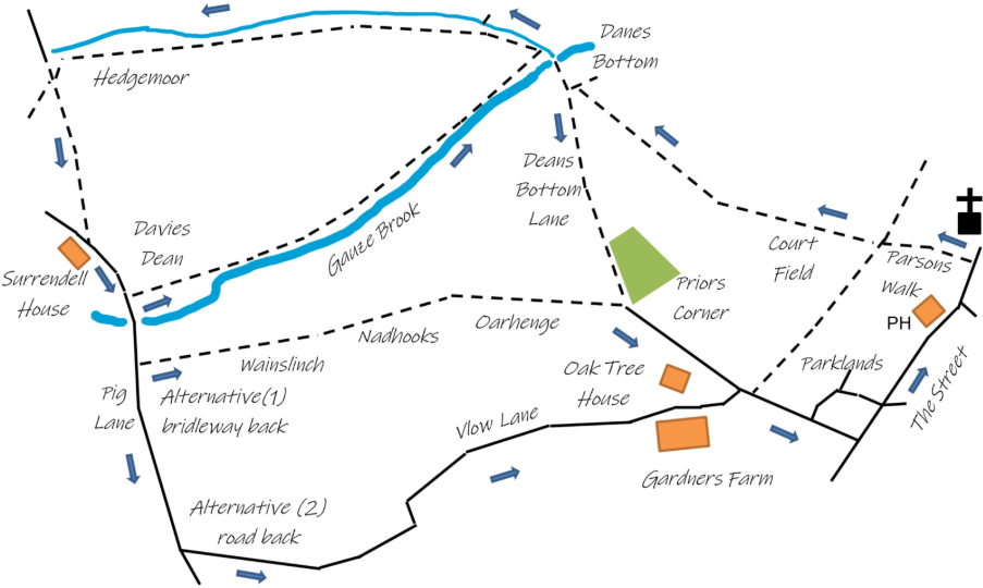
Walk 7 takes you over the fields to Surrendell House and back along the Gauze Brook. To vary the walk a bit, there’s a choice of return routes to the village.
- Starting from the Street, go down Parsons Walk. At the end of the path go through the kissing gate and straight on across Court Field keeping to the right of the electricity pole. This is gently uphill for most of the way. After crossing the stile go down the field and out of the gate at the bottom left corner. Turning right here, the track then takes you to the bridge over Gauze Brook.
- Keeping the hedge on your right, follow the path along the field edge to cross the second stile on your right and then along the edge of another four fields, again keeping the hedge on your right. After the gate into the fourth field, Hedgemoor, take a line past the rough, tussocky, marshy patch on your right, towards the stile just to the left of the tall bushes on the far side of the field. Cross the stile and turn left into the track towards Surrendell House, where you join the metalled lane.
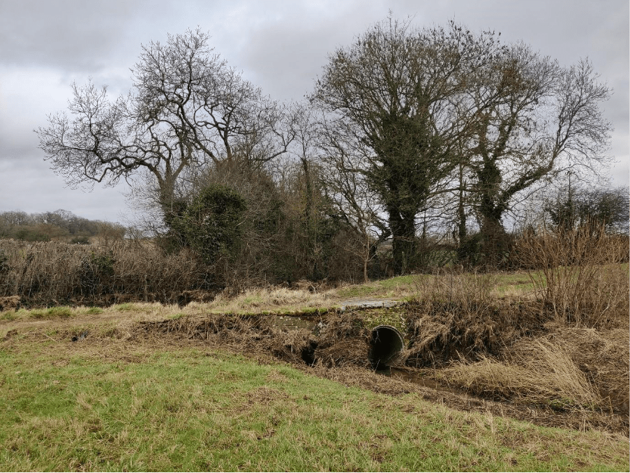
- Passing Surrendell House on your right, continue downhill and turn left over the stile by the gateway where a signpost reads “Danes Bottom ¾ mile”, cross the field Davies Dean. If you look carefully, you can still see the remains of medieval ridge and furrow cultivation in this field. Take the stile at the far corner on your right. Follow the path with the hedge now to your left and with the course of the Gauze Brook in the valley on your right. Cross the dilapidated stone stile into the next field to follow the Gauze Brook to the stone bridge at Danes Bottom.
- Turn right and cross the bridge to reach the track Deans Bottom Lane, which takes you back to the village via Priors Corner and Parklands.
- Alternatively, you can either follow the road back from Surrendell House, or take the bridleway, which begins on your left, about 250 yards from the House. After another 20 yards, up a steepish bank you will find a small hunting gate and, if the way ahead is not obvious, take a straight line towards Priors Corner, a patch of woodland ¾ mile ahead, past the filled-in quarry through Wainslinch, Nadhooks and Oarhedge. The last 300 yards comprise a cart-track Oarhedge Lane which brings you to the corner of a pretty little wood known as Priors Corner. Turn right here and follow the lane for about 350 yards.
Originally Oarhedge Lane was double-hedged most of the way to Pig Lane; it being the route walked by the children who lived at Surrendell when they came to the village school; but in muddy weather Vlow Lane was used. Oarhedge Lane was probably created (c1670) so that the farms at Surrendell could bring their tithes to Hullavington. Although today it stops well short of Pig Lane, in former times it would probably have followed the course of the bridle way to Pig Lane. Each of these routes takes about the same time.
